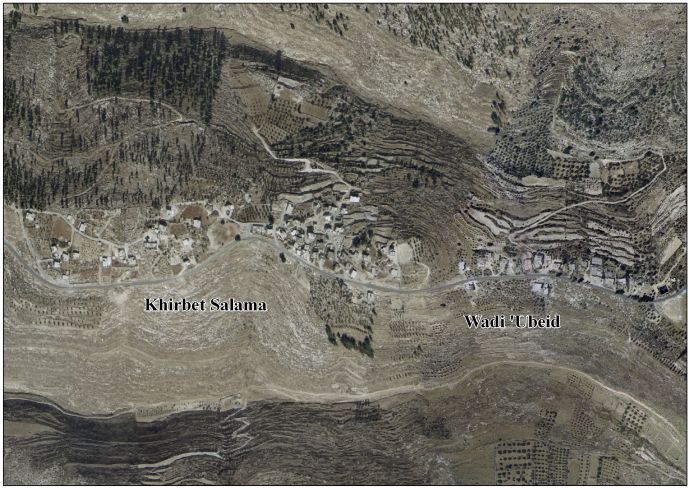
Khirbet Salama, Hebron
Khirbet Salama
Arabic: خربة سلامة | |
|---|---|
| Khirbet Salama, Hebron | |
| Country | Palestine |
| Governorate | Hebron Governorate |
| Elevation | 726 m (2,382 ft) |
| Population (2007) | |
• Total | 371 |
Khirbet Salama is a Palestinian village located west of the city of Dura, Hebron in the Hebron Governorate, in the southern West Bank.[1][2]
Population
In 2007, its population was approximately 371, according to the Palestinian Central Bureau of Statistics.[3][4]
Geography
Its elevation is approximately 726 meters above sea level. It is bordered to the north by the lands of At-Tabaqa, to the east by Khursa, to the south as-Sura, and to the west by Fuqeiqis.[5]
See also
References
- ^ "Khirbet Salama and Wadi 'Ubeid Village Profile" (PDF). vprofile.arij.org. 2010. Retrieved August 29, 2025.
- ^ "Distribution of Localities in Hebron Governorate by Availability of Infrastructure Services, 2015". www.pcbs.gov.ps. Retrieved 2025-08-29.
- ^ "Documents". pcbs.gov.ps. Retrieved 2025-08-29.
- ^ "2023". www.elections.ps.
- ^ www.elections.ps https://web.archive.org/web/20220309094118/https://www.elections.ps/Portals/0/dalel2021.pdf. Archived from the original (PDF) on 2022-03-09. Retrieved 2025-08-29.
{{cite web}}: Missing or empty|title=(help)