Wilkerson Creek (Little Platte River tributary)
| Wilkerson Creek | |
|---|---|
Wilkerson Creek at Route DD bridge in Smithville just before it deposits into the Little Platte River | |
| Location | |
| Country | United States |
| State | Missouri |
| County | Clay |
| Physical characteristics | |
| Source | |
| • location | Platte Township, Clay County |
| • coordinates | 39°18′18″N 94°31′38″W / 39.30489761°N 94.52735303°W[2] |
| • elevation | 980 ft (300 m)[2] |
| Mouth | Little Platte River |
• location | Smithville, Platte Township, Clay County |
• coordinates | 39°23′07″N 94°34′14″W / 39.3852777°N 94.5705101°W[3] |
• elevation | 810 ft (250 m)[3] |
| Length | 9.4 mi (15.1 km)[1] |
| Basin features | |
| Progression | Wilkerson Creek → Little Platte River → Platte River → Missouri River → Mississippi River → Atlantic Ocean |
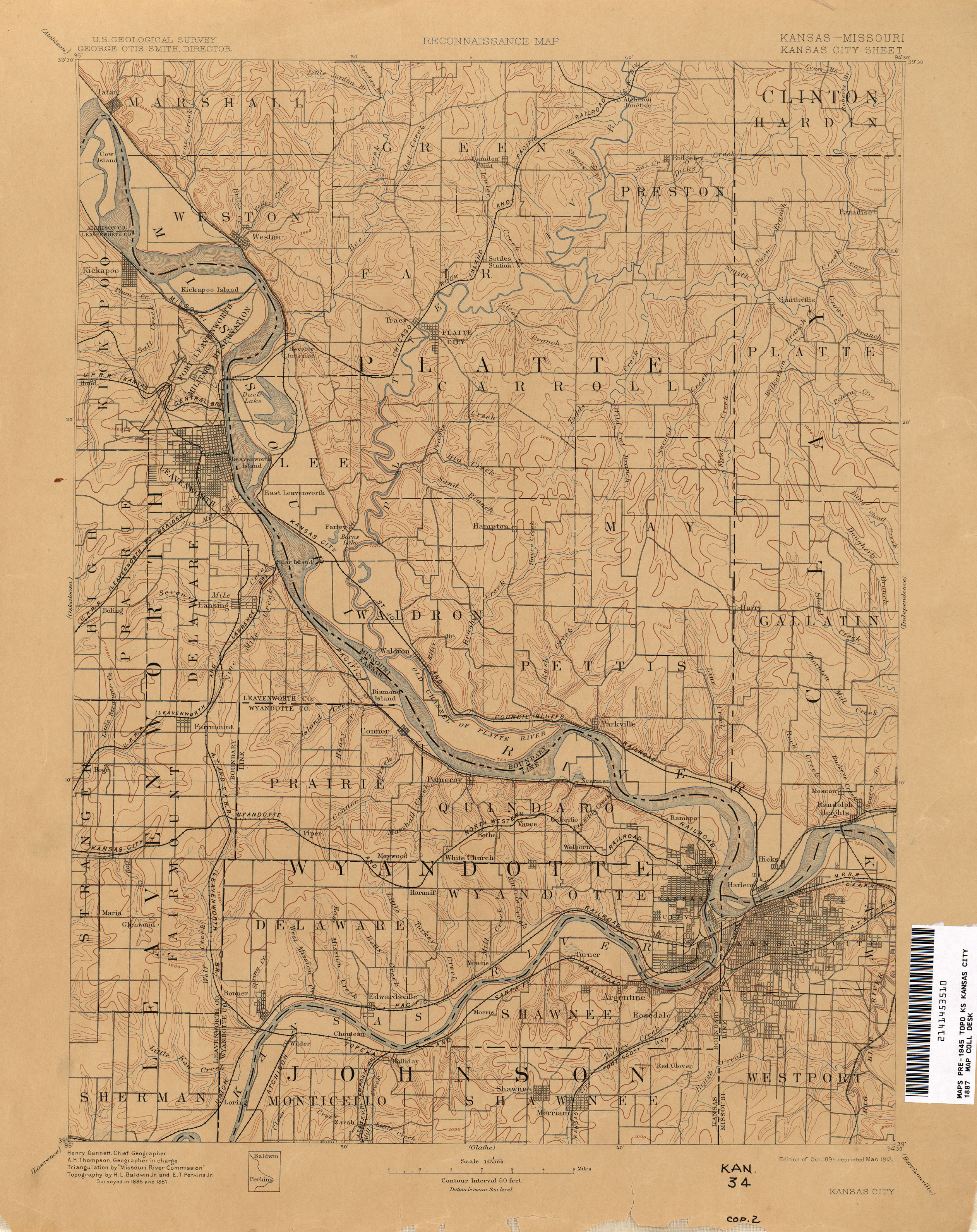
Wilkerson Creek is a stream in western Clay County, Missouri in the United States.[3] It is a tributary of the Little Platte River and is 9.4 miles (15.1 km) long.[1]
The stream has also been denoted as Wilkerson Branch.[4] Wilkerson Creek flows through the city of Smithville. It has two named tributaries, Polecat Creek and Rocky Branch.[1]
See also
References
- ^ a b c Bayless, Mike (2022). Platte River Watershed and Inventory Assessment. Missouri Department of Conservation. Retrieved October 17, 2025.
- ^ a b "Rivers and Streams". Missouri Spatial Data Information Service. Missouri Department of Natural Resources. Retrieved October 17, 2025.
- ^ a b c U.S. Geological Survey Geographic Names Information System: Wilkerson Creek (Little Platte River tributary)
- ^ "Kansas City - 1887". The University of Texas at Austin. USGS. Retrieved August 25, 2025.