Owens Branch (Little Platte River tributary)
| Owens Branch | |
|---|---|
Owens Branch at Route KK bridge in Smithville | |
| Location | |
| Country | United States |
| State | Missouri |
| County | Clay |
| Physical characteristics | |
| Source | |
| • location | Platte Township, Clay County |
| • coordinates | 39°26′06″N 94°35′15″W / 39.43495801°N 94.58742903°W[2] |
| • elevation | 950 ft (290 m)[2] |
| Mouth | Little Platte River |
• location | Platte Township, Clay County |
• coordinates | 39°23′35″N 94°35′16″W / 39.3930553°N 94.5877328°W[3] |
• elevation | 797 ft (243 m)[3] |
| Length | 4.5 mi (7.2 km)[1] |
| Basin features | |
| Progression | Owens Branch → Little Platte River → Platte River → Missouri River → Mississippi River → Atlantic Ocean |
Owens Branch is a stream in Clay County in the U.S. state of Missouri.[3] It is a tributary of the Little Platte River and is 4.5 miles (7.2 km) long.[1]
The stream flows north to south through Smithville before depositing into the Little Platte River.
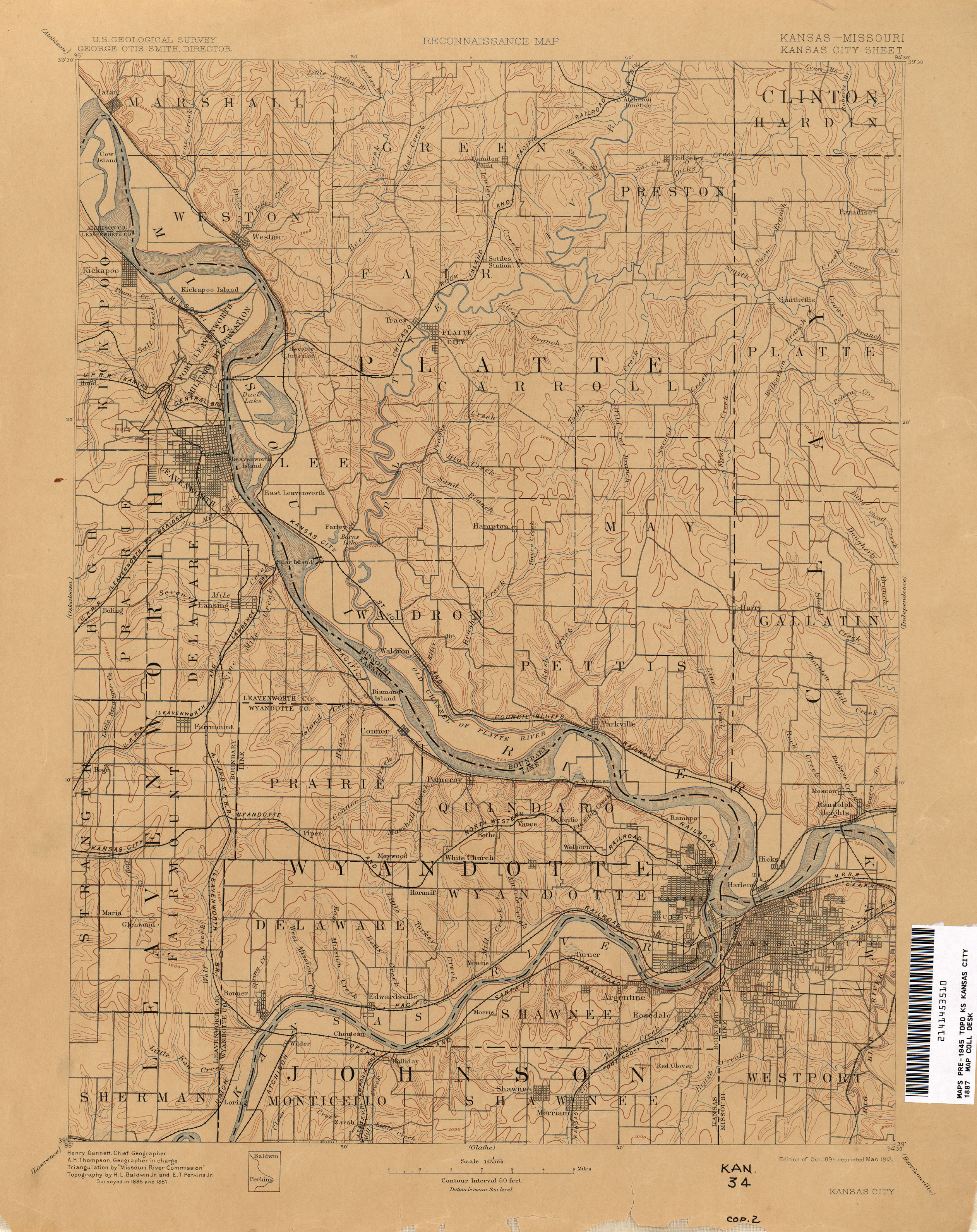
Owens Branch has the name of John Cross Owens, an early settler.[4] A late, 19th-century map denotes the stream as Owen Branch.[5]
See also
References
- ^ a b Bayless, Mike (2022). Platte River Watershed and Inventory Assessment. Missouri Department of Conservation. Retrieved October 17, 2025.
- ^ a b "Rivers and Streams". Missouri Spatial Data Information Service. Missouri Department of Natural Resources. Retrieved October 17, 2025.
- ^ a b c U.S. Geological Survey Geographic Names Information System: Owens Branch (Little Platte River tributary)
- ^ "Clay County Place Names, 1928–1945 (archived)". The State Historical Society of Missouri. Archived from the original on 24 June 2016. Retrieved 19 September 2016.
{{cite web}}: CS1 maint: bot: original URL status unknown (link) - ^ "Kansas City - 1887". The University of Texas at Austin. USGS. Retrieved August 25, 2025.